
TrueScale Atlas — Compare Country Sizes Without Mercator Distortion
Content & Media › Publishing & Magazines › Online Magazines
TrueScale Atlas is a free, open-data cartography tool that lets users compare country sizes by preserving spherical area while adjusting Mercator projection, providing interactive, distortion-aware visualizations. The platform hosts a curated set of country comparisons with downloadable data and export options for classrooms, articles, and static hosting.
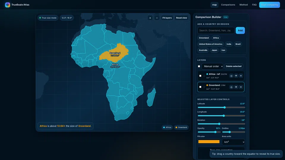
Launch record
Nov 16, 2026
Domain registered
Nov 19, 2026 — 9:29 AM UTC
Launch detected
Nov 19, 2026 — 9:29 AM UTC
Homepage snapshot archived
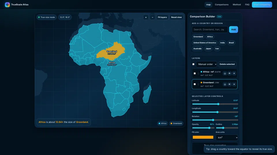
Captured when the launch was detected. Preserved as a historical record.
Current status
Owner
Unclaimed
Detected location
US
Registrar
CSL Computer Service Langenbach GmbH d/b/a joker.com
WebsiteLaunches Analysis
Trust evidence
Observable signals about this site's presence and identity on the web.
Reachability & presence
Contact methods detected (email)
No social profiles detected yet
Ownership & team
No owner attached yet
Attribution pages detected (About, Contact)
Content originality
WebsiteLaunches Analysis
Content originality
We analyze text and images across millions of websites using similarity detection to identify large-scale content duplication and reuse.
This signal indicates whether widespread duplication patterns were detected at the time of analysis.
Signals update over time.
No widespread duplicate content detected

Discussion
Log in to comment or vote.