Birmingham Civic Atlas [Public Beta]
Nonprofit & Community › Community Organizations › Civic Groups
The Birmingham Civic Atlas is a public-facing project that maps council wards, civil society organizations, and their activity in Birmingham, overlaying political and deprivation data to provide context for community groups. It serves researchers, residents, and local organizations by offering a visually navigable view of where services and activities are concentrated across the city.
Launch record
May 22, 2026
Domain registered
May 22, 2026 — 8:21 AM UTC
Launch detected
May 22, 2026 — 8:21 AM UTC
Homepage snapshot archived
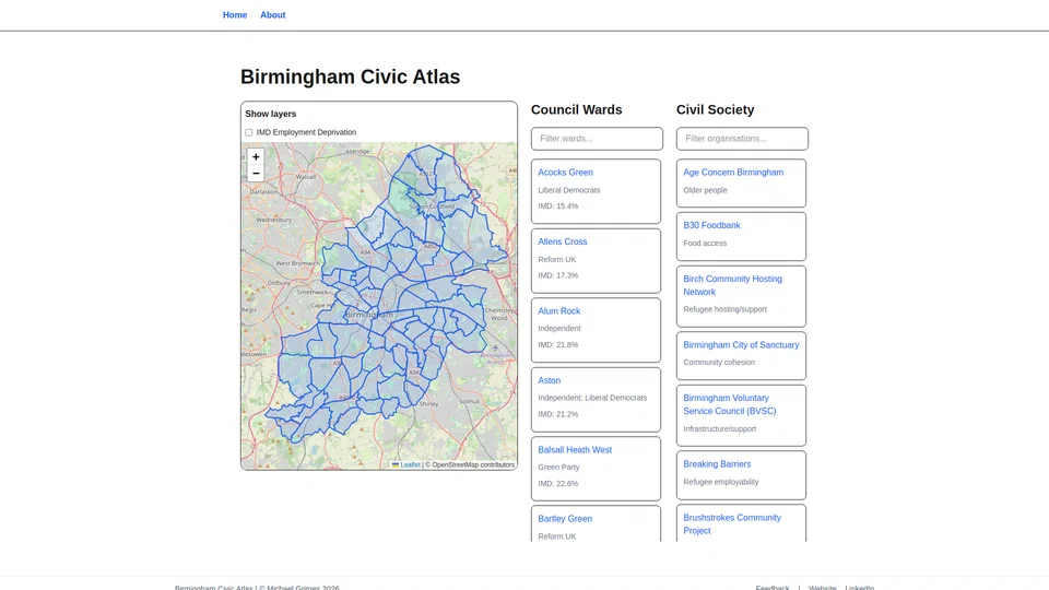
Captured when the launch was detected. Preserved as a historical record.
Current status
Owner
Unclaimed
Detected location
GB, Birmingham
Hosting
Netlify
Registrar
Name.com LLC t/a Name.com, Inc.
WebsiteLaunches Analysis
Trust evidence
Observable signals about this site's presence and identity on the web.
Reachability & presence
No contact methods detected yet
Social profiles detected (LinkedIn)
Ownership & team
No owner attached yet
Attribution pages detected (About)
Content originality
WebsiteLaunches Analysis
Content originality
We analyze text and images across millions of websites using similarity detection to identify large-scale content duplication and reuse.
This signal indicates whether widespread duplication patterns were detected at the time of analysis.
Signals update over time.
No widespread duplicate content detected

Discussion
Log in to comment or vote.