
Geomatiqs — AI-Enhanced Geo Grid Visualization
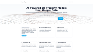
Geomatiqs provides AI-enhanced 3D property models and access to high-resolution Google satellite data, supporting investors, developers, and property owners in planning, analysis, and visualization. The platform offers CAD-ready outputs, solar and feasibility insights, and transparent pricing with a focus on privacy and rapid, multi-source data loading.


Discussion
Log in to comment or vote.