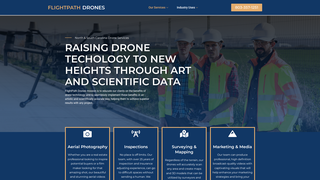
FlightPath Drones | Aerial Imaging | South Carolina | Aerial Mapping | North Carolina

FlightPath Drones is a professional services provider offering aerial imaging, surveying, and inspection solutions using FAA-certified pilots. The company serves sectors such as real estate, construction, agriculture, and media, delivering accurate data and visually compelling content through drone-enabled technology.
Discussion
Log in to comment or vote.